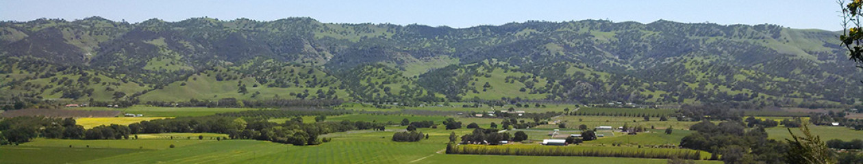
 As Mary mentioned, our family spent the week up in the Capay Valley last week. There was a ton to do, and we got a lot done, but one of my favorite parts was getting to know the community a bit better, and understanding a little bit more of the history of the land.
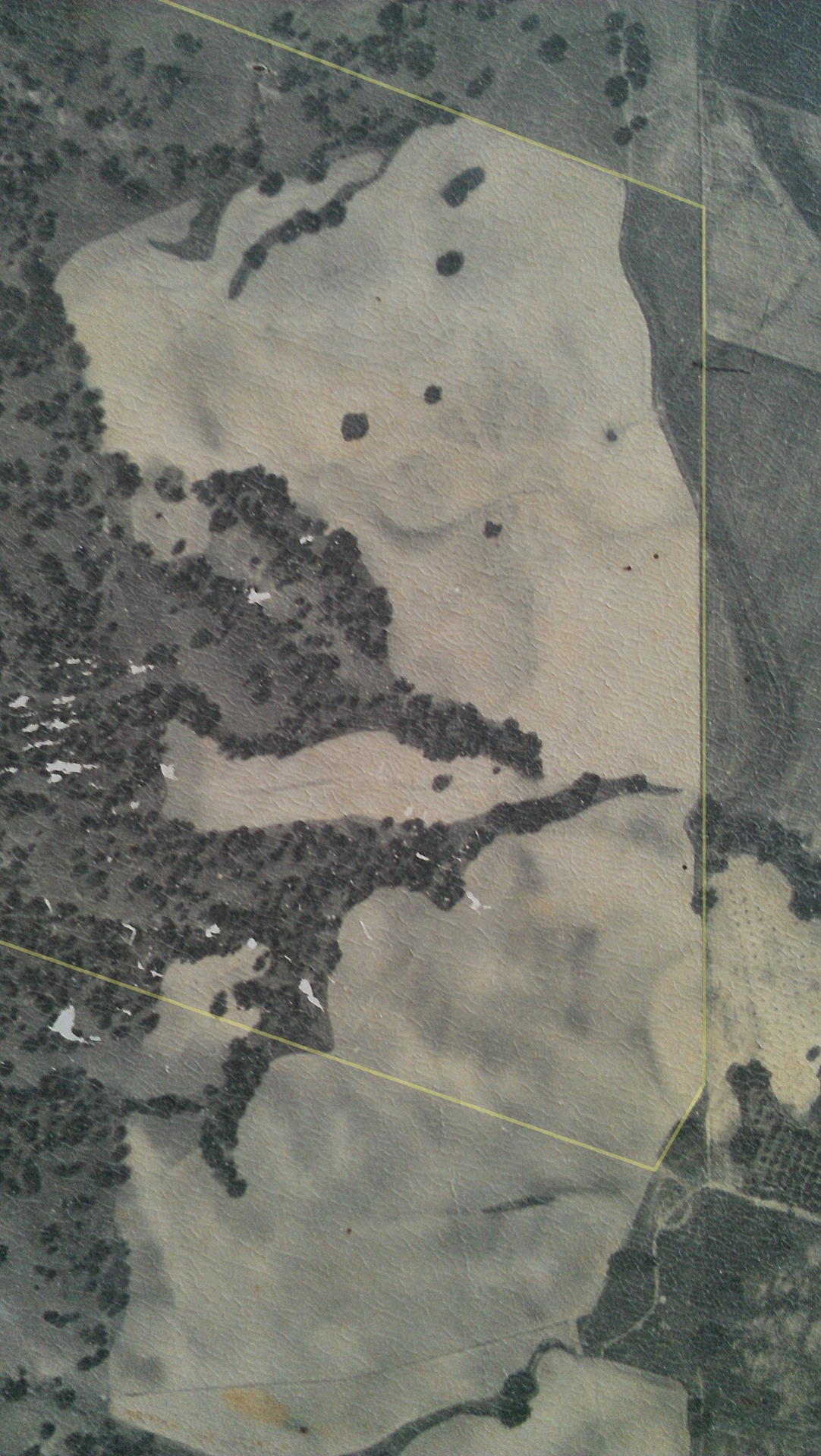
One of the neighbors to the south had an old aerial photograph framed in his house and I got to examine it for a bit. They guessed it was probably taken in the 1960’s. I snapped a few cell phone-quality pictures so I could peruse it some more at home. The flatter parts of our property were clearly mostly farmed – Jim (the neighbor, who’s dad bought land here in the 1940’s and grew up here) guessed it was either barley or wheat, both of which had heavy subsidies in that era and therefore were planted all over the valley.
Comparing the older aerial with more current imagery also reveals more mini-insights. For reference, I’ve made an educated guess on the approximate location of the property line in the older aerial (top) and a more current aerial (undated, from Bing).
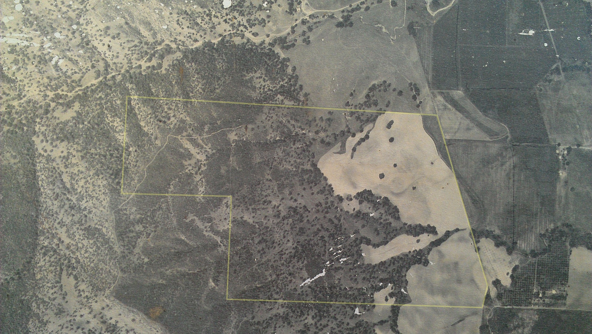
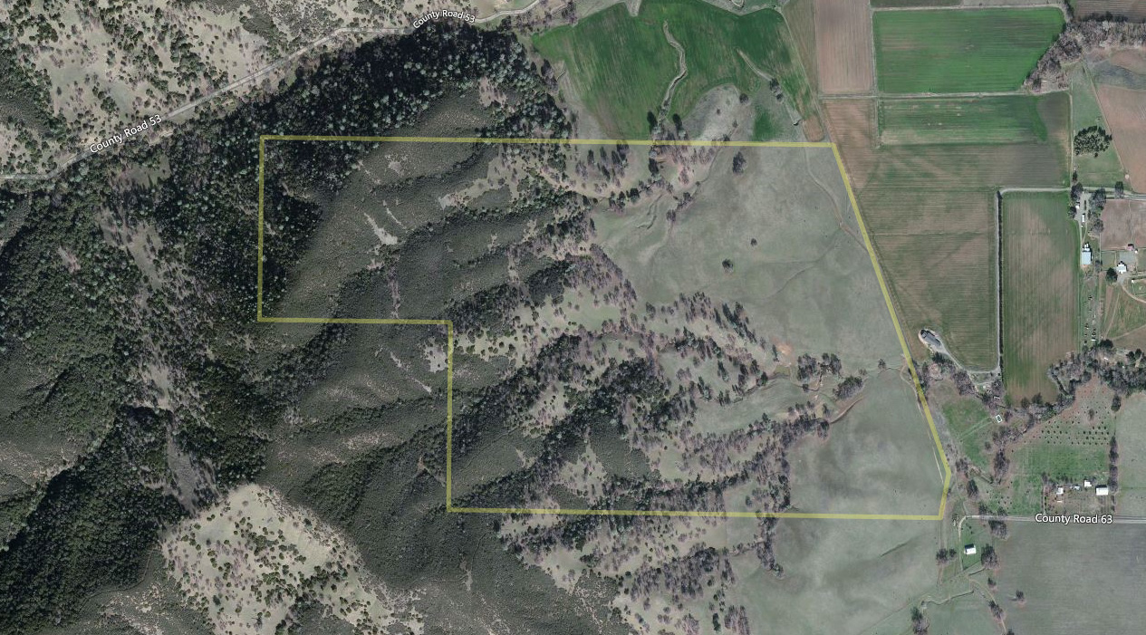
I’m still processing what I’m seeing, but the big things that jump out at me are the traces of the Rumsey Ditch on the east side (more on that later), the change in the chaparral cover in the hills on the west, and the traces of drainage ways that are more or less apparent now.
Also, I see evidence of trails or paths, and fence lines that are no longer there. I like finding the fence lines, because I’ve noticed that there’s a lot of remnant barbed wire where those lines are. I’m also interested in where the remnant trails are, to see if we can re-establish some of them!